


la Brousse Sommet de Finiels

tyntyn
User
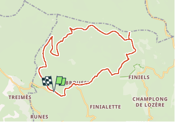

Length
21 km

Max alt
1699 m

Uphill gradient
521 m
Km-Effort
28 km

Min alt
1203 m

Downhill gradient
520 m
Boucle
Yes
Creation date :
2025-06-13 06:06:24.029
Updated on :
2025-06-13 12:54:10.509
6h17
Difficulty : Medium

FREE GPS app for hiking
 SityTrail
IGN / Geographical institutes
SityTrail Plus
The world is yours!
About
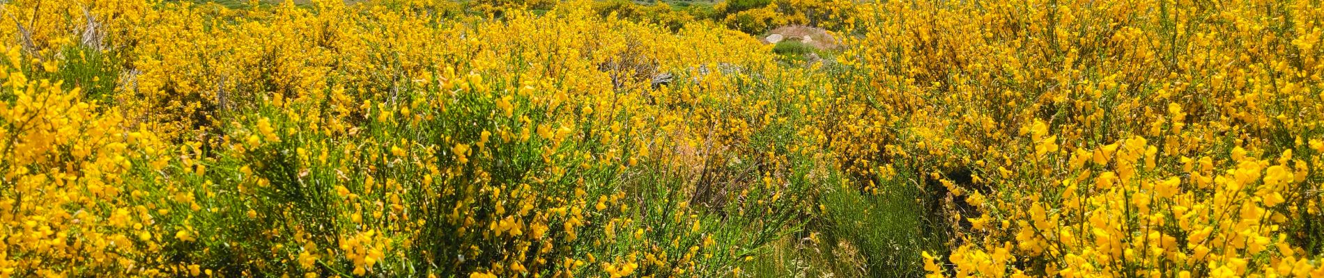
Trail Walking of 21 km to be discovered at Occitania, Lozère, Pont de Montvert - Sud Mont Lozère. This trail is proposed by tyntyn.
Photos


Positioning
Country:
France
Region :
Occitania
Department/Province :
Lozère
Municipality :
Pont de Montvert - Sud Mont Lozère
Location:
Fraissinet-de-Lozère
Start:(Dec)
Start:(UTM)
554616 ; 4916116 (31T) N.
Comments